Flood information for the Golden Plains Shire Council, encompassing local flood guides and a Municipal Flood Emergency Plan.
Golden Plains Flood History

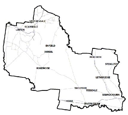
Golden Plains Shire Council has a number of rivers, creeks and waterways at risk of flooding. The town of Inverleigh is located where the Leigh River and the Barwon River meet, meaning that the town can experience extensive flooding if the two rivers flood at the same time. Shelford is impacted by flooding of the Leigh River.
As well as impacting Shelford and Inverleigh, in 2010 and 2011 localised flooding occurred in the north-western regions of the shire around Haddon, Smythesdale and Smythes Creek.
Flood warning systems are in place for Inverleigh and Shelford through the Bureau of Meteorology. The lead time to respond to a flood event may be limited. Households and businesses should refer to their Local Flood Guide or Municipal Flood Emergency Plan for more information.
Shelford Local Flood Guide
Inverleigh Local Flood Guide
Please note: The Inverleigh Local Flood Guide is open for consultation until 15 July 2025. Click here to view the Inverleigh LFG and submit feedback to ust.barwon@ses.vic.gov.au.
Click the button below to view the Local Flood Guide, which includes information about the local flood risk and how you can prepare for and respond effectively to floods.
Batesford Local Flood Guide
Click the button below to view the Local Flood Guide, which includes information about the local flood risk and how you can prepare for and respond effectively to floods.
About Flood Guides
Communities can use local flood guides to identify and better understand their local flood risk. They include information about: flood history, how to prepare & respond to floods and who to contact.
Contact Information
Local SES Units
-
Bannockburn VICSES Unit:
25 High Street,
Bannockburn.
Municipal Flood and Storm Plan
Golden Plains Shire Council Flood Emergency Plan - Updated May, 2024


