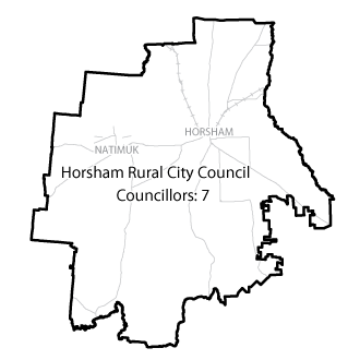
Flood information for the Horsham Rural City Council, encompassing local flood guides and the Municipal Flood and Emergency Plan.
Horsham Flood History

Horsham Rural City has a history of flooding, with significant flooding occurring more than 15 times since records began in the mid-18th century.
The January 2011 flood event is the largest event on record in Horsham, with the Horsham Gauge measuring 4.27 metres at Walmer. During this flood:
-
Horsham was split in two by floodwater
-
Two aged care facilities, one caravan park and other municipal facilities were evacuated
-
500 properties were isolated by floodwater
The lead time to respond to a flood event may be limited. All households and businesses at risk of flooding should develop an emergency plan and be aware of their flood risk. Households and business should refer to their Local Flood Guide or Horsham Rural City Flood Emergency Plan for more information.
Horsham Local Flood Guide
Natimuk Local Flood Guide
Dadswells Bridge Local Flood Guide
About Flood Guides
Communities can use local flood guides to identify and better understand their local flood risk. They include information about: flood history, how to prepare & respond to floods and who to contact.
Contact Information
Local SES Units
- Horsham VICSES Unit:
54 McPherson Street
Horsham, Vic
Municipal Flood and Storm Plan
Horsham Rural City Flood and Storm Emergency Plan - Coming soon.


