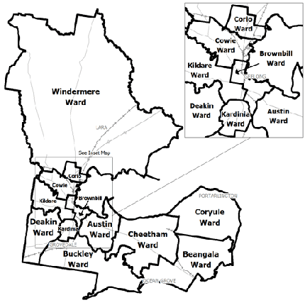
Flood information for the City of Greater Geelong, encompassing local flood guides and a Municipal Flood Emergency Plan.
Greater Geelong Flood History

Geelong is situated at the meeting point of the Moorabool and Barwon Rivers and sits on Corio Bay. In Geelong, there are a number of areas lining the Barwon River subject to flooding.
Along the Barwon river there are many homes and businesses at risk of flooding. Geelong has a history of significant flooding from the river including in 1909, 1952, 1978, 1983, 1995 and 2001.
Areas that sit on the Barwon River such as parts of Fyansford, Highton, Newtown, Belmont, Breakwater and South Geelong are at risk of flooding from the river.
Since 1852 there have been approximately 14 large floods in the region, with large flooding occurring on average every 10-12 years.
Flash flooding can occur with little to no warning in many parts of Geelong, including the CBD and surrounds.
Households and business should refer to their Local Flood Guide or Municipal Flood Emergency Plan for more information.
Geelong Local Flood Guide
Barwon Heads and Ocean Grove Local Flood Guide
Lara Local Flood Guide
Batesford Local Flood Guide
About Flood Guides
Communities can use local flood guides to identify and better understand their local flood risk. They include information about: flood history, how to prepare & respond to floods and who to contact.
Contact Information
Local SES Units
-
Geelong VICSES Unit:
4 Wood Street,
South Geelong -
Corio VICSES Unit:
299 Anakie Road,
Lovely Banks -
South Barwon VICSES Unit:
13-39 Rossack Drive,
Grovedale -
Bellarine VICSES Unit:
702 Grubb Road,
Drysdale


